Technically the list of the online maps is structured like an item list. It is sorted from local to global and normally filtered according to the presence of information at the desired location.
As a test I added a few other non-mapping websites: tourism platforms and event collection websites. For example, one could quickly get to local tourism offers and local events during vacations.
Data
At the moment, this list contains a diverse collection of map sites and geoportals (e.g. portals of the Swiss cantons and community portals for the canton of Zurich) from very different subject areas. It is also not distinguished whether the sites are commercial, governmental or community driven.
As a rule, the sites can be navigated to so that the current location appears as the center of the map section. However, this is not always the case. Since these center coordinates must be passed in different coordinate systems, there is a mechanism for converting the current longitude/latitude coordinates.
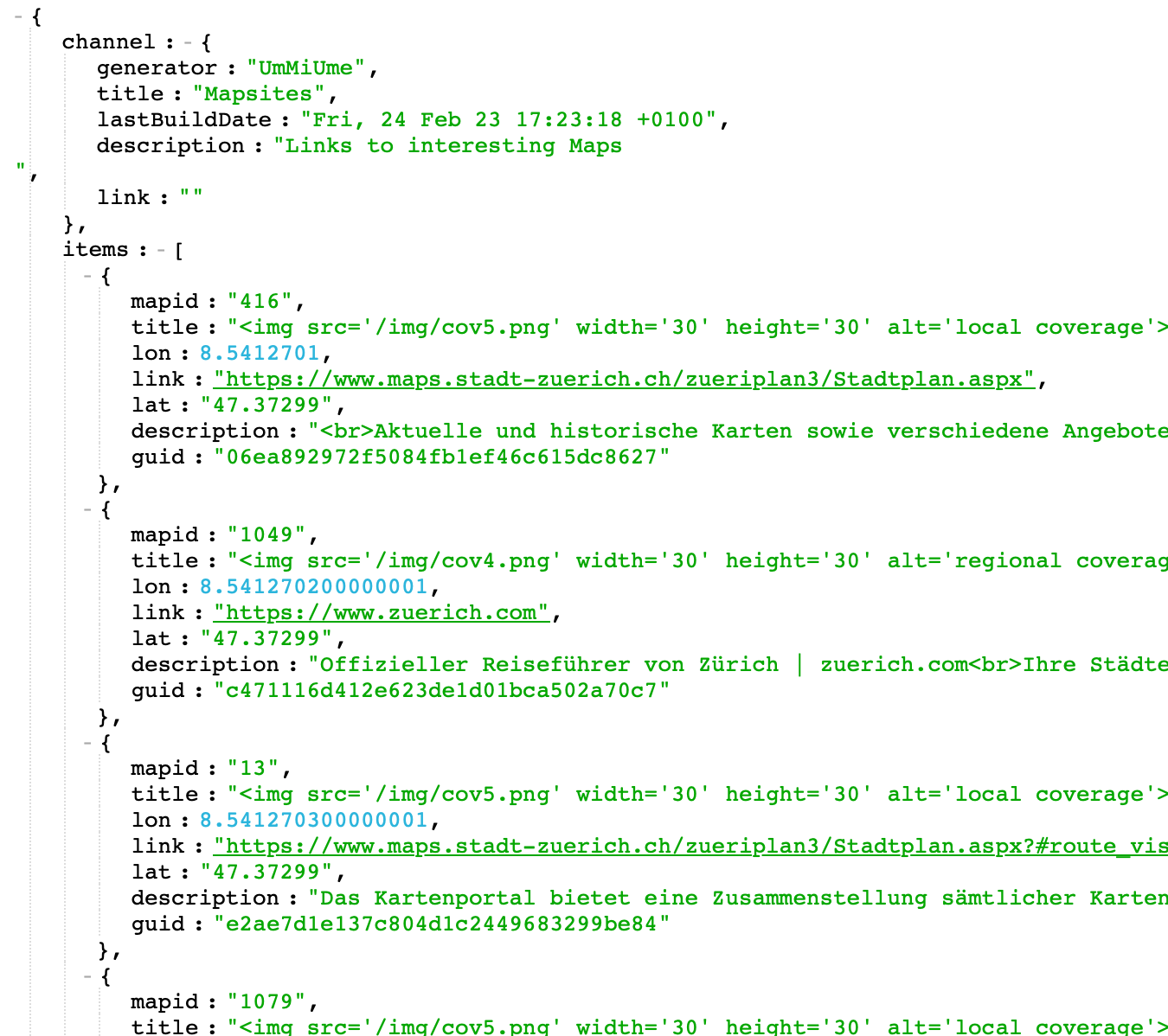
Database Content
The main database fields that are captured for each mapsite are:
CREATE TABLE `mapsites` (
  `type` char(1) NOT NULL,
  `nmaps` int(11) DEFAULT 1,
  `title` varchar(255) NOT NULL,
  `about` varchar(1024) NOT NULL,
  `description` varchar(1024) NOT NULL,
  `keywords` varchar(1024) NOT NULL,
  `site_keywords` varchar(500) NOT NULL,
  `site_description` varchar(500) NOT NULL,
  `url` varchar(2500) NOT NULL,
  `box` varchar(255) NOT NULL,
  `coverage` int(11) NOT NULL,
);- type: Test for adding tourism (T) and event (E) websites, otherwise empty
- nmaps: Test for the indicator of portals with many separate topics
- box: boundary of the covered area (west, south, east, north)
- coverage: 1-5, world – continental – country – regional – local